
Accelerate Your Design Process
With as-built files in AutoCAD and Revit, there's no need to waste time deciphering outdated PDFs or manually redrawing unreliable plans.
Avoid Costly Clashes
Our accurate measurements and detailed drawings reduce the risk of errors and prevent unnecessary change orders during construction.
All-in-One Resource
One site visit delivers virtual tours, comprehensive photo documentation, and detailed assessment reports tailored to your project requirements.


What We Do

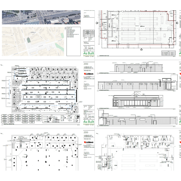
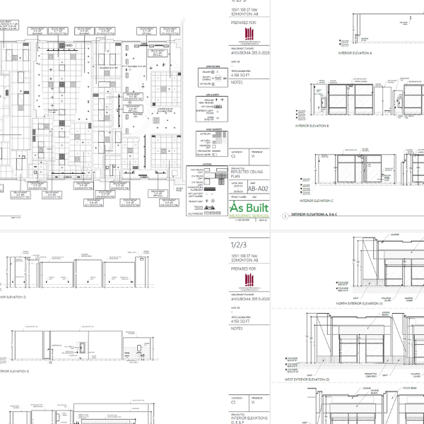
Site Surveys
Our team of building surveyors have the knowledge, skills, and technology to capture all the site details and measurements your project requires.
Measure to CAD/BIM
Our classic “ninja” method of building measurement. Our surveyors measure and draft on site using handheld laser distance meters wirelessly tethered to portable CAD workstations. The most flexible, non-disruptive method of capturing site data.
Scan to CAD/BIM
Our lidar scanners capture millions of measurement points in space. Each scan location is aligned to the next, until the scope area has been fully captured and a “point-cloud” is produced. Depending on the measurement tolerances you require, from ~1mm accuracy to ~10mm accuracy, we have the right scanner for your project. Our drafting team converts the point-cloud to a 3D building model.
Virtual Tours
Our Matterport Virtual Tours are a fantastic way to showcase a property. They can also provide remote stakeholders with an easily navigable view of project sites. We have the most current cameras in our toolkit.

Drafting/Modelling
Our production team creates the drawings and building models you need to move your project forward. Check out our suite of drafting services below…
Preconstruction Surveys
Robust site surveys are a critical component of successful redevelopment projects. We give you a thorough understanding of your project sites by collecting critical data about the structure, architecture, MEP, design/construction criteria, life safety systems and more.
BOMA Floor Area Analysis
Are you a building owner or manager? Do you want to have a thorough, accurate accounting of your building areas? We deliver comprehensive floor area surveys to ensure that all of your leasable area is accounted for and allocated as per the most current BOMA floor measurement standards.
Our service doesn’t stop upon delivery of our files. We continue to provide ongoing guidance and measurement recommendations to our clients who value our depth of knowledge and experience in the application of the BOMA standards.
Marketing Floor Plans
Are you a real estate broker marketing a vacancy? Do you need an accurate, professionally drafted plan of your space? Our plans are a valuable marketing resource for many high-producing commercial brokers.
As-Built 3D Models
Do you work in BIM? Would you like a building model that accurately reflects site conditions and measurements? Our team will turn our scan or measurement data into a Revit model, leaving your design and consulting teams free to focus on project design and execution.
Site Plans
Do you have a clear picture of your commercial sites? An accurate, detailed site plan is a valuable resource for many property management tasks.
Drawing Management
When construction is complete and drawings are turned over to building management and operations, they continue to be an integral source of information for ongoing planning, maintenance, retro-fitting, safety, and redevelopment of built assets.
We assist facilities operators by providing ongoing drawing management services. We ensure your building drawings are:
- Accurate
- Up to Date
- Searchable
- Usable for your Team
Test Fits/Space Plans/Demising Plans
Are you a building owner or manager exploring and budgeting for a space reconfiguration? Leverage our knowledge of both BOMA space allocation and building codes during the planning and budgeting phase of a project.
Client Success Stories
Retail Transformations
Learn how we support retail reimaging projects with rapid deployment and comprehensive surveys.
Facilities Management
Learn how we supported MacEwan University's design and operations teams with their new properties.

Property Management
See how we perform and deliver BOMA Floor Area Surveys, providing accurate, up-to-date space accounting.

Accurate data from coast to coast.
Whether you need accurate as-built plans for a single asset, or hundreds of locations across the country, we are the partner you need to move your project forward.